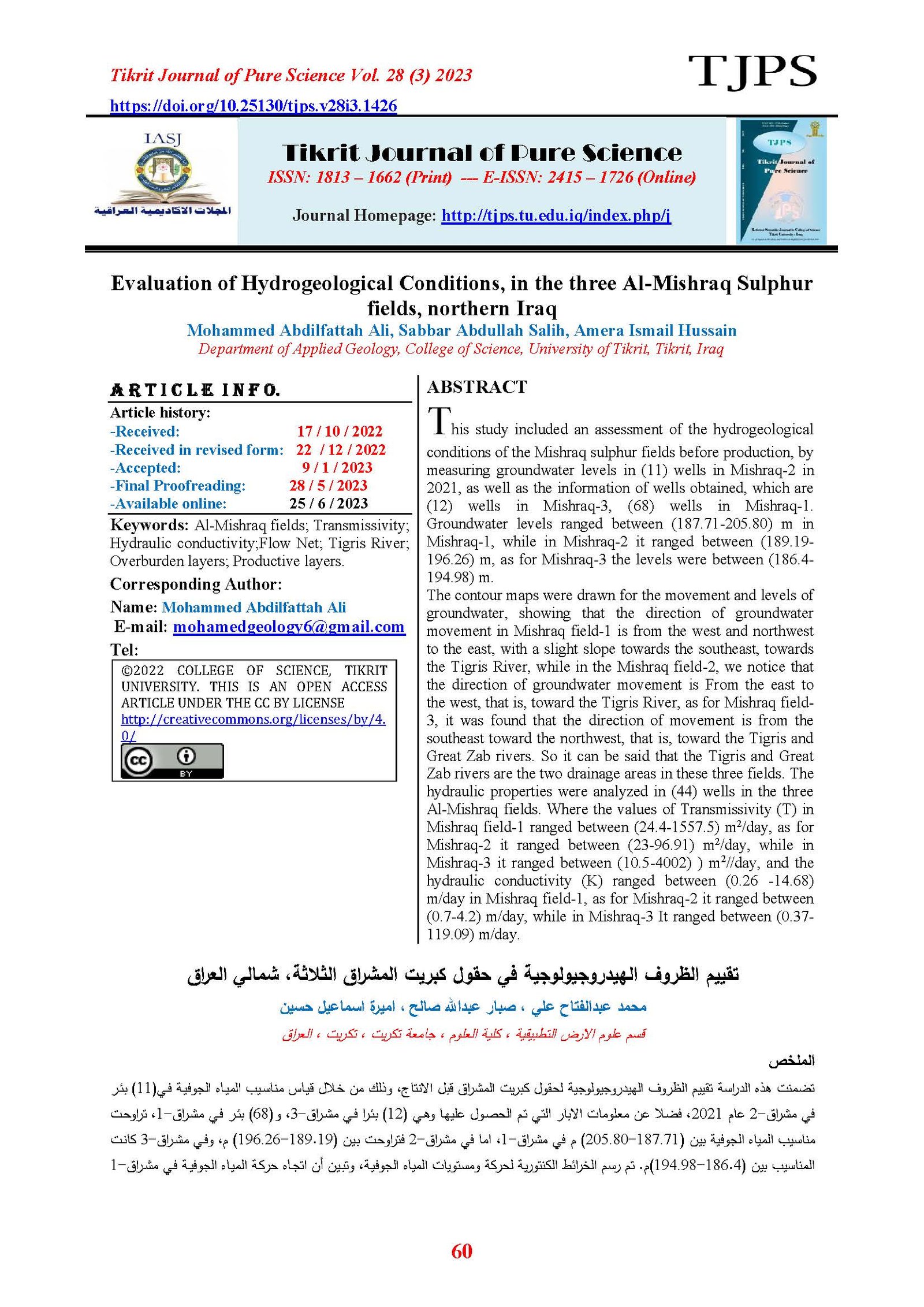
Evaluation of Hydrogeological Conditions, in the three Al-Mishraq Sulphur fields, northern Iraq
Main Article Content
Abstract
This study included an assessment of the hydrogeological conditions of the Mishraq sulphur fields before production, by measuring groundwater levels in (11) wells in Mishraq-2 in 2021, as well as the information of wells obtained, which are (12) wells in Mishraq-3, (68) wells in Mishraq-1. Groundwater levels ranged between (187.71-205.80) m in Mishraq-1, while in Mishraq-2 it ranged between (189.19-196.26) m, as for Mishraq-3 the levels were between (186.4-194.98) m.
The contour maps were drawn for the movement and levels of groundwater, showing that the direction of groundwater movement in Mishraq field-1 is from the west and northwest to the east, with a slight slope towards the southeast, towards the Tigris River, while in the Mishraq field-2, we notice that the direction of groundwater movement is From the east to the west, that is, toward the Tigris River, as for Mishraq field-3, it was found that the direction of movement is from the southeast toward the northwest, that is, toward the Tigris and Great Zab rivers. So it can be said that the Tigris and Great Zab rivers are the two drainage areas in these three fields. The hydraulic properties were analyzed in (44) wells in the three Al-Mishraq fields. Where the values of Transmissivity (T) in Mishraq field-1 ranged between (24.4-1557.5) m2/day, as for Mishraq-2 it ranged between (23-96.91) m2/day, while in Mishraq-3 it ranged between (10.5-4002) ) m2//day, and the hydraulic conductivity (K) ranged between (0.26 -14.68) m/day in Mishraq field-1, as for Mishraq-2 it ranged between (0.7-4.2) m/day, while in Mishraq-3 It ranged between (0.37-119.09) m/day.
Article Details

This work is licensed under a Creative Commons Attribution 4.0 International License.
Tikrit Journal of Pure Science is licensed under the Creative Commons Attribution 4.0 International License, which allows users to copy, create extracts, abstracts, and new works from the article, alter and revise the article, and make commercial use of the article (including reuse and/or resale of the article by commercial entities), provided the user gives appropriate credit (with a link to the formal publication through the relevant DOI), provides a link to the license, indicates if changes were made, and the licensor is not represented as endorsing the use made of the work. The authors hold the copyright for their published work on the Tikrit J. Pure Sci. website, while Tikrit J. Pure Sci. is responsible for appreciate citation of their work, which is released under CC-BY-4.0, enabling the unrestricted use, distribution, and reproduction of an article in any medium, provided that the original work is properly cited.
References
[1] Centrozap, “.Geological documentation of native sulphur deposits in Mishraq, Sulphur state enterprise library, 216p, 1971 (Unpublished).
[2] S. Z. Jassim and J. C. Goff, Geology of Iraq. DOLIN, sro, distributed by Geological Society of London, 2006.
[3] M. Mutib, “Geoelectrics Of Aquifer Horizons Of Fat’ha Formation/North-West Iraq,” Tikrit J. Pure Sci., vol. 17, no. 1, 2012.
[4] B. A Al-Juraisy and M. Mutib Thabit D Mahder-Bashi, “Environmental Study in Mishraq-1 Sulphur Field from 2DRI and ARS,” Iraqi Natl. J. Earth Sci., vol. 9, no. 2, pp. 1–16, 2009.
[5] S. M. Awadh and M. R. A. Al-Owaidi, “Designing Raw Mix for Manufacturing Portland Cement using Euphrates Formation Marl Instead of Clays,” Iraqi Geol. J., vol. 54, no. 2D, pp. 87–97, 2021, doi: 10.46717/igj.54.2d.7ms-2021-10-26.
[6] Q. J. Saud, “(Arabic) TIGRIS RIVER POLLUTION: A COMPARATIVE STUDY BEFORE AND AFTER PRODUCTION STOPPAGE FROM AL-MISHRAQ SULFUR MINE, SOUTH OF MOSUL, CENTRAL NORTH IRAQ,” Iraqi Bull. Geol. Min., vol. 4, no. 2, pp. 25–36, 2008.
[7] S. N. Alsaraf, T. M. Bashi, and A. K. Atai, “The Evaluation of the Environmental Pollution of the Soil and Water of the Al-Mushreq Sulfur Company Before and After Production Stoppage in 2003 Mosul-Iraq.,” Kirkuk Univ. Journal-Scientific Stud., vol. 13, no. 3, pp. 221–236, 2018.
[8] Mb. Mahder, M. Marwan, D. Thabit, and B. A. Al-Juraisy, “Environmental Study in Mishraq-1 Sulphur Field from 2DRI and ARS,” Iraqi Natl. J. Earth Sci., vol. 9, no. 2, pp. 1–16, 2009.
[9] A. I. M. A. Elias et al., “A study on the ways of the limitation of the seepage phenomenon of hot water and mining melting sulphur and its effect on Tigris river,” 2010.
[10] A. M. Al-Samarrie, “Ground Water Movement in Sulphur Bearing Strata with Reference to Sub-Surface Hydraulic Mining.” University of Newcastle upon Tyne, 1975.
[11] M. A. Ali, “Evaluation of Hydrogeological Conditions, of the groundwater reservoir west of Samarra by using Data pumping tests in wells Single,” Tikrit J. Pure Sci., vol. 22, no. 8, 2017.
[12] Mahmoud. S. Sharif, AL-Mureeb.S .R, Busy.M.A, and Yassin.N., “Geological and geotechnical investigations and reserve calculation of sulfur deposits for the Meshraq-3 field, the General Company for Geological Survey and Mining,” 1992. Internal Report No. 1976.
